


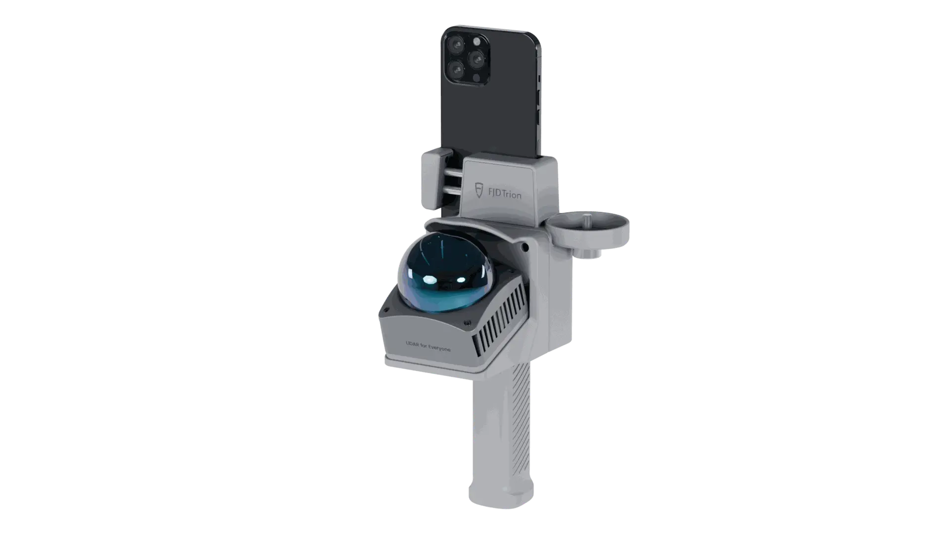
FJD Trion V4e Pro
$999.00
A Serious Mapping Tool That Fits in Your Hand
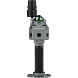
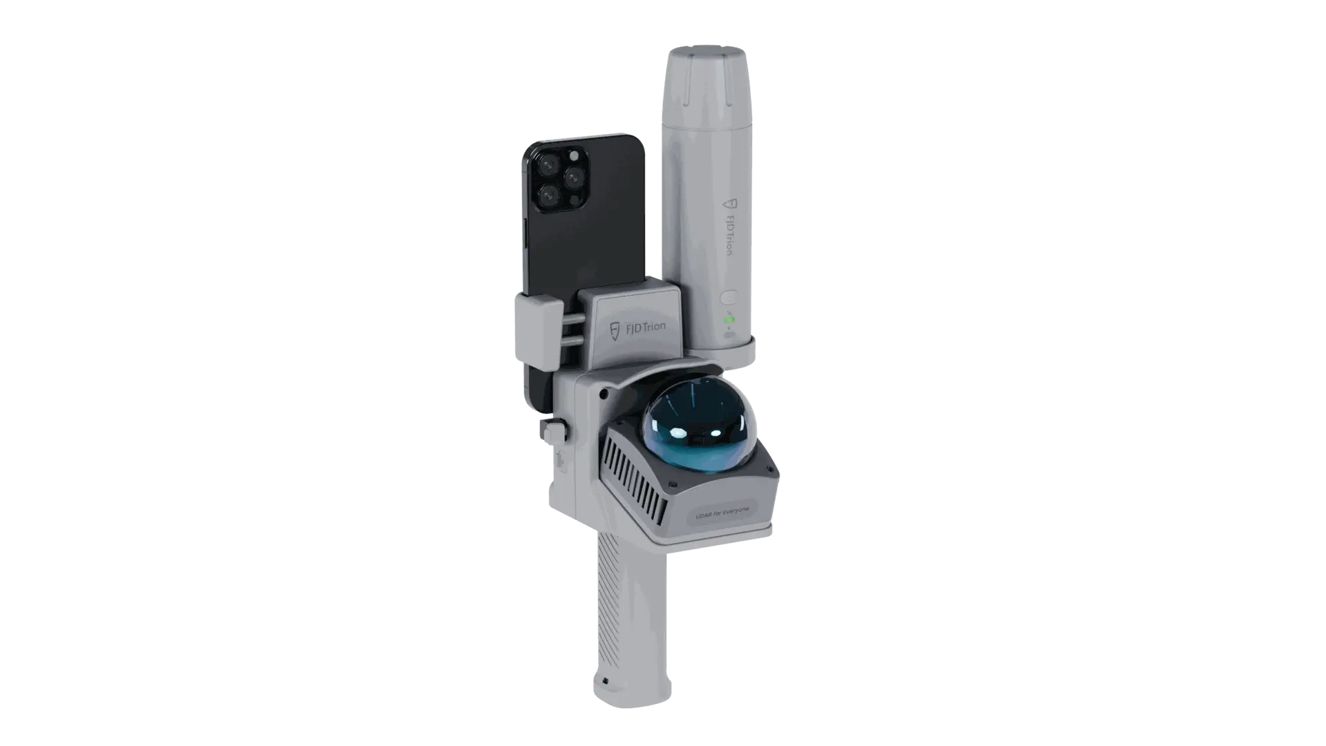
The V4e Pro is a compact RTK GNSS receiver designed to collect highly accurate outdoor positioning data.
That is the technical description.
In practical terms, it means you can walk a property, collect accurate points, establish boundaries, identify obstacles, and build a much better digital picture of the site without dragging a large piece of equipment around with you.
The unit weighs about 320 grams, or roughly seven-tenths of a pound.
It is small enough to carry easily, but it is built to provide centimeter-level RTK positioning when connected to the proper correction source.
For anyone working with robotic equipment, that combination matters.
You want precision.
You also want something people will actually use.
Why Lawnamation
At Lawnamation, I spend a great deal of time around robotic mowing and autonomous grounds-maintenance equipment.
One thing becomes obvious very quickly when you work in this space:
Automation is only as good as the information you give the machine.
The mower needs to know where it belongs.
It needs to know where the boundaries are.
It needs to know where the obstacles are.
And the person setting up that equipment needs a reliable way to collect that information.
That is where the Trion V4e Pro makes sense.
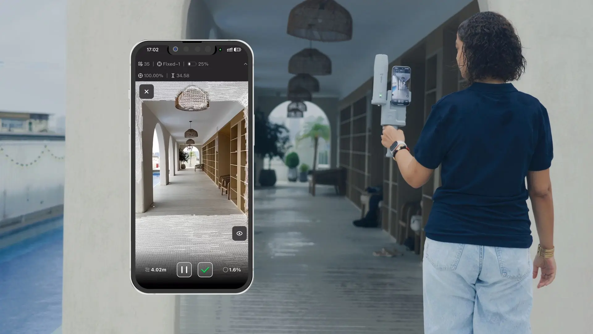
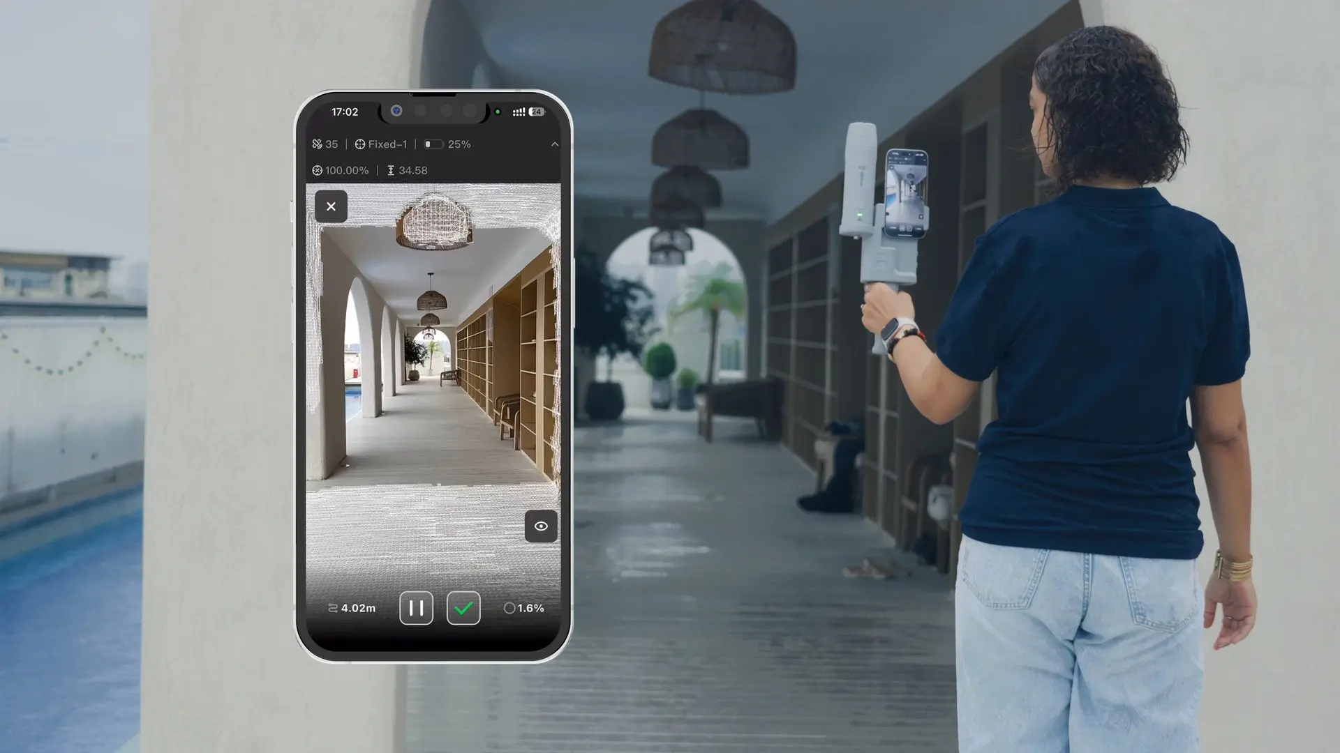
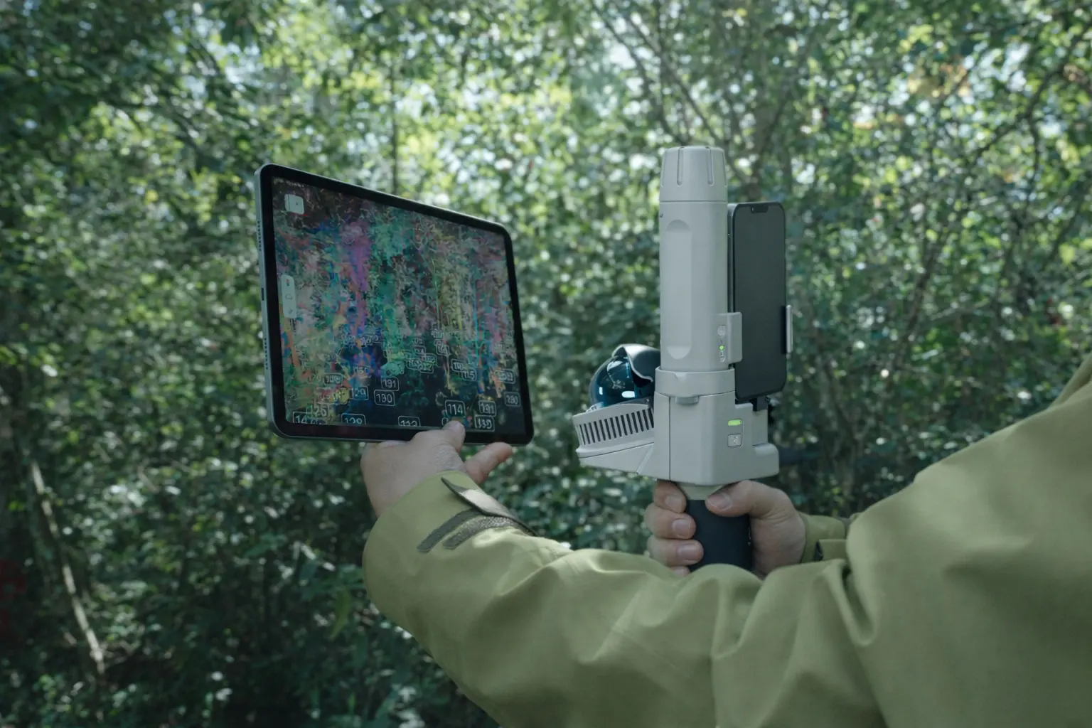
Instead of moving a mower, vehicle, or larger piece of equipment around simply to establish a map, you can walk the property with a handheld receiver and collect accurate site information.
That can make the setup process cleaner, quicker, and more professional.
Who is with us?
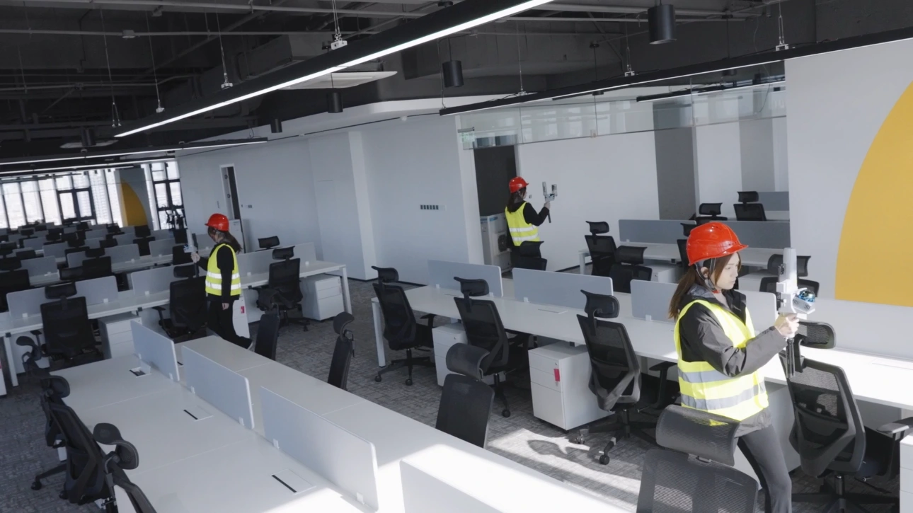
This is a professional tool, and it makes the most sense for people who have a real reason to improve the accuracy and efficiency of their outdoor mapping.
I see a strong fit for:
- Robotic mower dealers and installers
- Landscape contractors
- Commercial property managers
- Municipalities
- Parks departments
- Schools and universities
- Golf facilities
- Athletic field managers
- Grounds-maintenance contractors
- Agricultural operations
- Businesses managing multiple properties
- Organizations moving toward autonomous outdoor equipment
It can also be useful anywhere someone is regularly measuring, mapping, documenting, or planning outdoor space
Centimeter-Level RTK Accuracy
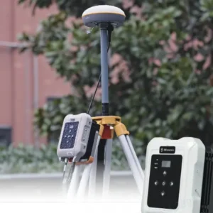
The V4e Pro is built for work where ordinary phone GPS is not precise enough.
With an RTK correction source, FJD specifies positioning accuracy of:
Horizontal: ≤0.8 cm + 1 ppm Vertical: ≤1.5 cm + 1 ppm
That level of precision makes it possible to create much more accurate boundaries, reference points, work zones, and field layouts than standard consumer GPS.
The receiver uses 1,408 parallel GNSS channels and supports signals from multiple global satellite constellations, including GPS, GLONASS, Galileo, BeiDou, QZSS, and SBAS.
Why That Matters
More accurate site data can mean:
- Better-defined robotic work areas
- More repeatable layouts
- Cleaner transitions between zones
- More precise reference points
- Less time correcting maps later
- Faster setup on repeat jobs
Measure Difficult Points Without Standing Directly Over Them
Not every point you need to map is easy to reach.
Fence corners, landscape beds, retaining walls, ditches, obstacles, wet areas, and other site features can make conventional point collection slow or awkward.
The V4e Pro combines an integrated IMU with laser-assisted measurement, allowing an operator to target points without needing to place the receiver directly on top of every location.
FJD specifies laser measurement accuracy of up to approximately 3 cm at a 3-meter distance under applicable conditions.
That can make mapping faster around:
- Trees
- Buildings
- Fences
- Landscape features
- Curbs
- Drainage areas
- Restricted spaces
- Uneven terrain
No Traditional Survey Pole Required for Many Tasks
Traditional GNSS surveying equipment can involve a receiver mounted on a pole that must be positioned and leveled at each point.
The V4e Pro was designed around a much more portable workflow.
Pick it up, connect it to your compatible device or controller, establish your RTK positioning, and begin collecting points.
The integrated IMU helps compensate for receiver angle during supported measurements, making field work quicker and more comfortable.
For crews that frequently move from property to property, the difference is significant: the mapping equipment can fit in your hand instead of becoming another large piece of equipment that has to be transported and set up.
Built for Long Days Outside
At only 320 grams, the V4e Pro is light enough to carry around a property without the fatigue associated with heavier surveying equipment.
Despite its small size, it is designed for outdoor field conditions.
Field-Ready Construction
IP67 Rated Protection against dust and temporary water immersion under the applicable IP67 test standard.
1.2-Meter Drop Protection Designed to survive the kinds of accidental drops that can happen during field work.
12+ Hour Battery Life Enough battery capacity for a full working day in many applications.
≤3 Hour Recharge Time Recharge quickly and get back into the field.
Operating Temperature: Approximately -20°C to 60°C (-4°F to 140°F).
Fast Startup. Less Waiting.
Field equipment should not become the bottleneck.
The V4e Pro is designed to establish positioning quickly, with FJD listing:
- Cold start: ≤30 seconds
- Hot start: ≤5 seconds
- RTK initialization: <5 seconds under appropriate conditions
- Signal reacquisition: ≤1 second
The result is a tool designed to spend more time collecting useful data and less time waiting for the receiver.
A Natural Tool for Robotic Grounds Management
The V4e Pro is especially interesting for organizations moving toward autonomous grounds maintenance.
Robotic equipment needs to understand where it is supposed to work.
The Trion gives operators a practical way to collect accurate outdoor positioning data before or alongside deployment of compatible FJD robotic equipment.
Potential Applications
Commercial Properties
Map mowing areas, obstacles, reference points, and property features before autonomous equipment is deployed.
Municipalities
Document parks, public grounds, recreation areas, athletic fields, and other maintained turf.
Schools & Universities
Create accurate layouts for campuses, athletic facilities, and large grounds-maintenance areas.
Golf & Sports Facilities
Collect precise field, turf, and site data for mowing, marking, or maintenance workflows.
Landscape Contractors
Map customer properties quickly and build a reusable digital record of each site.
Robotic Mower Dealers
Create a more professional mapping and installation workflow for larger or more complex properties.
One Compact Receiver. Multiple Workflows.
Depending on the software and equipment paired with it, the V4e Pro can support several different workflows.
Basic GNSS Mapping
Connect to a compatible mobile device and use the receiver for accurate field positioning and point collection.
Trion Survey
For more advanced surveying workflows, FJD’s Trion Survey software supports functions such as point measurement, stakeout, CAD/GIS workflows, coordinate systems, and data export.
FieldFusion
Pairing Trion hardware with FJD FieldFusion can support field-boundary mapping, data collection, and broader digital field-management workflows.
FJD Robotic Equipment
For organizations using compatible FJD landscaping and autonomous equipment, accurate digital mapping can become the foundation for mowing, marking, and property-management automation.
Need help choosing the right setup?
Talk with Lawnamation about your property, equipment, and intended workflow before ordering.
FJD Trion V4e Pro Specifications
Positioning
GNSS Channels: 1,408 parallel channels
RTK Accuracy — Horizontal:
≤0.8 cm + 1 ppm
RTK Accuracy — Vertical:
≤1.5 cm + 1 ppm
Single-Point Accuracy:
Horizontal ≤1.5 m
Vertical ≤2.5 m
DGPS Accuracy:
Horizontal ≤0.4 m
Vertical ≤0.8 m
Position Update Rates:
1 Hz, 2 Hz, 5 Hz, 10 Hz, 15 Hz, 20 Hz
Signal Reacquisition:
≤1 second
Cold Start:
≤30 seconds
Hot Start:
≤5 seconds
RTK Initialization:
<5 seconds under appropriate conditions
Supported GNSS Constellations
GPS
GLONASS
Galileo
BeiDou
QZSS
SBAS
Connectivity
Bluetooth: BT 4.0 dual-mode
Bluetooth Working Distance: approximately 5 m
Wi-Fi: 2.4 GHz in supported base-station mode
Data Port: USB 2.0 Type-C
Power
Battery Runtime: ≥12 hours
Charging Time: ≤3 hours
Charging: 5V / 2A
Power Consumption: ≤1.5 W
Physical
Weight: 320 g / approximately 0.7 lb
Dimensions:
182 × 53 × 53 mm
Approximately 7.17 × 2.09 × 2.09 in
Protection Rating: IP67
Drop Protection: 1.2 m
Operating Temperature:
-20°C to 60°C / -4°F to 140°F
Charging Temperature:
0°C to 45°C / 32°F to 113°F