Trion P2 LiDar Scanner
$9,999.00
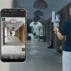
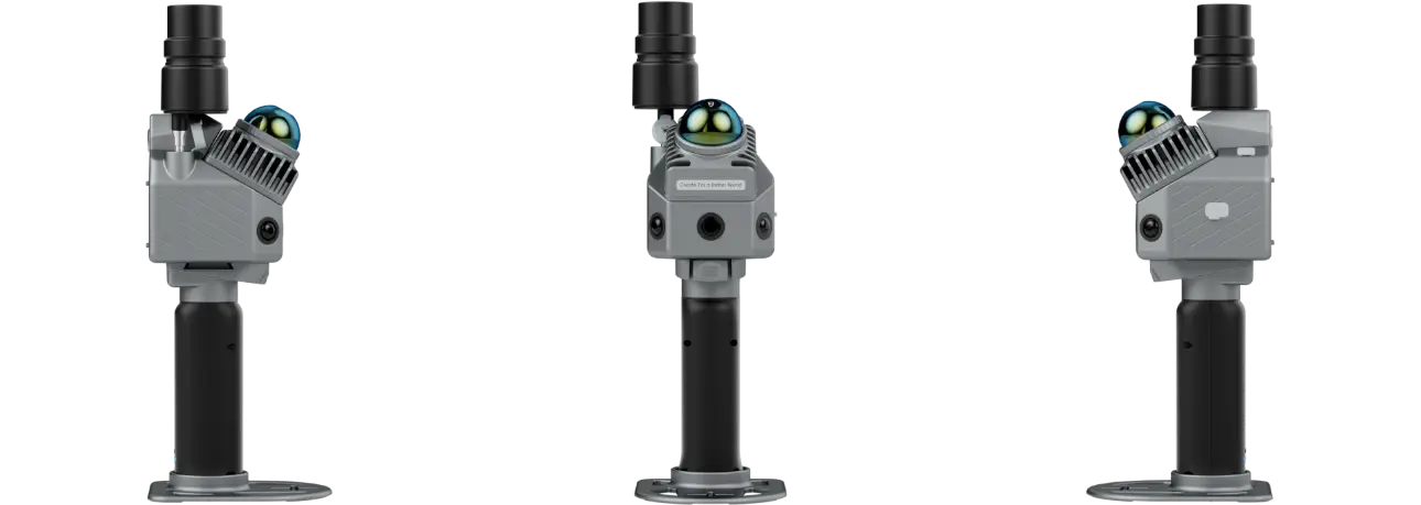
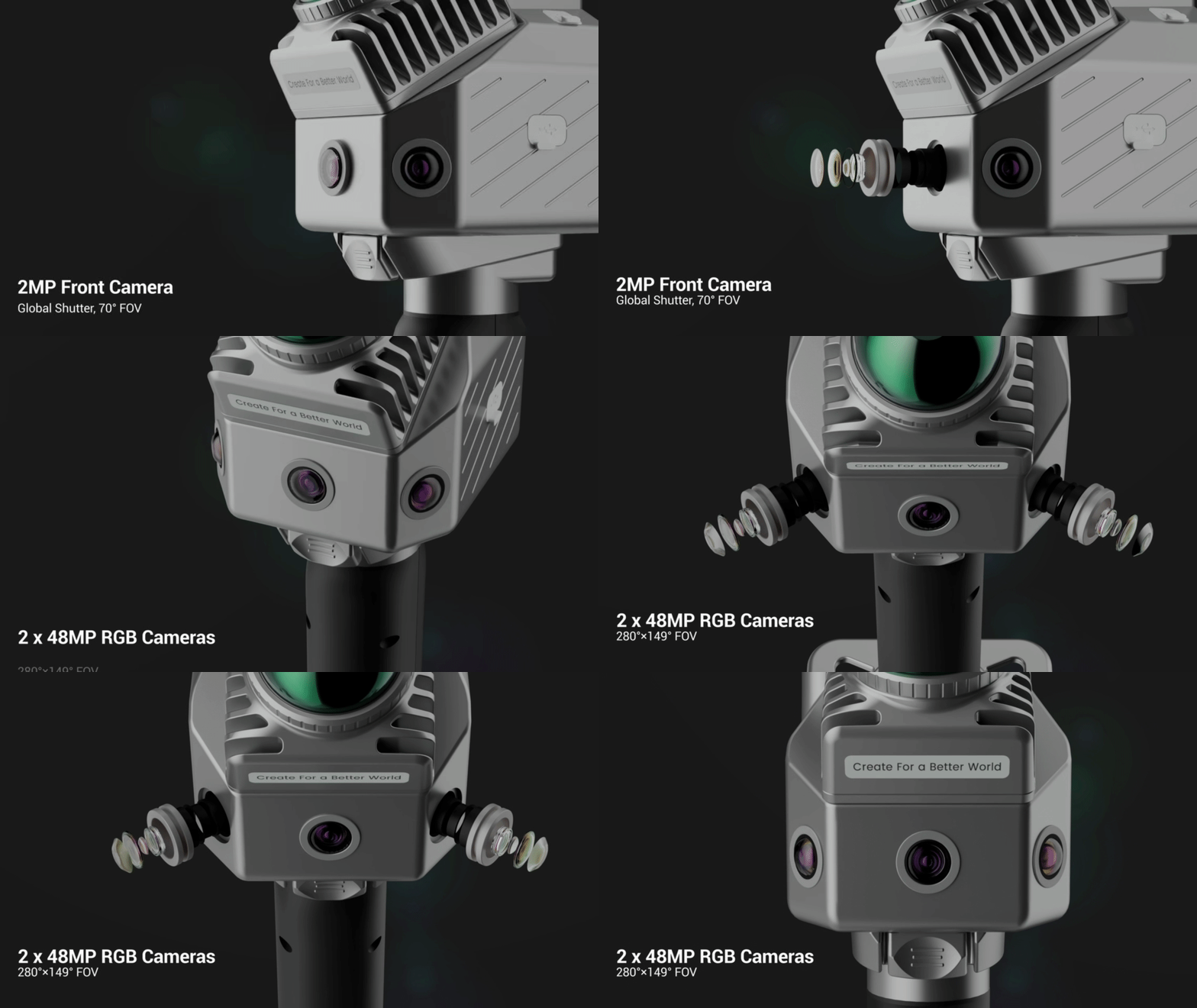
The FJD Trion P2 is interesting to me because it brings serious 3D scanning capability into something one person can actually carry around a property.
I am making the FJD Trion P2 LiDAR Scanner available through Lawnamation for people who need more than a boundary line on a map.
Sometimes you need to understand the property itself.
The structures.
The obstacles.
The spaces between everything.
That is where the P2 comes in.
This Is More Than GPS
The easiest way I can explain the difference is this:
A GNSS receiver tells you where a point is.
A LiDAR scanner helps show you what the world around that point actually looks like in three dimensions.
As you walk through an area with the P2, the scanner measures hundreds of thousands of points and builds a digital representation of the environment around you.
The result is a 3D point cloud.
Instead of going back to a property repeatedly to take individual measurements, you can capture a much larger amount of information during the original visit and work with that data afterward.
For the right kind of operation, that can change the entire workflow.
For a long time, collecting detailed information about a property meant choosing between something inexpensive and approximate or something accurate, expensive, and complicated.
The FJD Trion P2 is interesting to me because it brings serious 3D scanning capability into something one person can actually carry around a property.
I am making the FJD Trion P2 LiDAR Scanner available through Lawnamation for people who need more than a boundary line on a map.
Sometimes you need to understand the property itself
The spaces between everything.
That is where the P2 comes in.
This Is More Than GPS
The easiest way I can explain the difference is this:
A GNSS receiver tells you where a point is.
A LiDAR scanner helps show you what the world around that point actually looks like in three dimensions.
As you walk through an area with the P2, the scanner measures hundreds of thousands of points and builds a digital representation of the environment around you.
The result is a 3D point cloud.
Instead of going back to a property repeatedly to take individual measurements, you can capture a much larger amount of information during the original visit and work with that data afterward.
For the right kind of operation, that can change the entire workflow.
Why I Brought the P2 to Lawnamation
Robotic and autonomous equipment is becoming increasingly dependent on good digital information.
A mower or field robot needs boundaries.
But once the work gets more complicated, boundaries are only part of the picture.
You may also need to understand:
- Terrain changes
- Trees
- Structures
- Buildings
- Slopes
- Curbs
- Landscape features
- Drainage areas
- Equipment clearances
- Existing infrastructure
- Complex outdoor environments